I’m slowly putting together a page for you on things to do with the census, other than just extracting names and relationships.
Life’s a little fraught at the moment – lots of projects coming to fruitition, and deadlines to meet: but here’s an interesting thing to do.
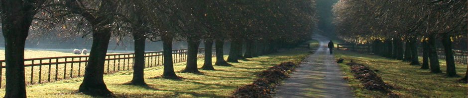
Walk the census route.
You’ll find, at the start of each census folio, details of the route the enumerator took. With the aid of a copy of this, a modern map of the area and an old map of the area – and a modicum of luck – you should be able to identify pretty accurately the property where your ancestors lived.
This in itself is an interesting thing to do: and if you then search the photographic collectons in your local archives, you may be lucky enough to find a photograph of the street, and possibly of the property itself. Or try one of the sites I link to in the page ‘Useful Websites’.
From here, you can try to identify the property (or street) on a site such as Google Maps or Google Street. If you enter the name of the street into your search engine, you may find that it’s recently been sold, and there may be a photograph taken by the estate agent, or even a floor plan. I found a photograph of the house where my Great Great Uncle Bill lived in 1920 – in Cleveland, Ohio – just by tapping the address into a search engine.
This is quite a fun thing to do on a rainy afternoon (it’s also quite a good way to get younger members of the family involved).
You don’t have to have ancestors born in a stately home: many small Victorian – and earlier – properties still exist. I found the cottage where my Palmer family lived in 1841.
Of course you may be unlucky: the house where I was born, and lived in until I was seven has long since disappeared under the Molineux Football Ground. The area my Kingswinford ancestors lived in – Tansey Green – is now an industrial estate. Pearson Street and Pountney Street in Wolverhampton would be unrecognisable to my ancestors. But it’s still interesting to find out how the area has changed.
If you live in, or visit, the area where your ancestors lived, you can then use the information you’ve found from your maps to actually visit the area. Remember to take a camera (and be prepared to have to explain why you’re photographing someone else’s house!). Use your maps as well to identify places like schools – many Victorian schools still exist, although some no longer function as schools – it’s highly likely that your ancestors would have attended the nearest school to where they lived, especially as far as elementary schooling is concerned. Only yesterday I was teaching a class in the very school my grandmother attended a hundred years ago.
Once you’ve built up this information, you can use it to create ‘then and now’ illustrations for your family tree: include the maps and photographs after each census extract.
And please, please, consider giving a copy of your file to your local archive, or post the photographs on a site such as the excellent www.sharehistory.org.
It’s so nice to share.